E-PUR Services
Geographic Information Systems and Database Management Capabilities
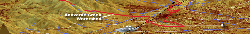
E-PUR employs the latest in GIS software and analytics such as Image Mapper, GeoMoose, and ESRI’s ArcMap, Spatial Analyst and ArcInfo for 2D and 3D visualization and data display.
E-PUR utilizes web-hosted data services such as Project Portal from ddms with built-in data analysis and display tools to provide clients access to their project data and reports.
Remote Data Acquisition
E-PUR designs monitoring programs from existing well networks and surface water stations or develop plans for the locations for new data collection to meet project needs and objectives. Our goal is the best resolution on what is happening at the lowest practical cost. Optimization techniques are used to identify the data locations and collection frequency needed to support good decision making.
Today’s data collection systems leverage the latest in pressure, flow, and quality measurement technology, wirelessly transmitting data to a central receiving station (e.g., a PC) or transmitting data by wire in a SCADA environment. The data are maintained within the SCADA system or in a project-specific, web-enabled database, with access restricted to authorized users in conformance with U.S. Homeland Security requirements.